Sign In
Sign-Up
Welcome!
Close
Would you like to make this site your homepage? It's fast and easy...
Yes, Please make this my home page!
No Thanks
Don't show this to me again.
Close
Welcome To Arakanland Slide Show
Home
Arakan
News
Photos
Videos
Files
Favorite
Contact
Terrorist
Slide Show
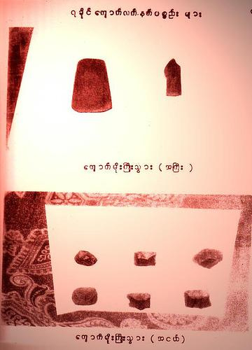
Neo Tools from Arakan. Arakanese Says Thunder-Axe
;)
;)
;)

